Isolated and Mysterious Place
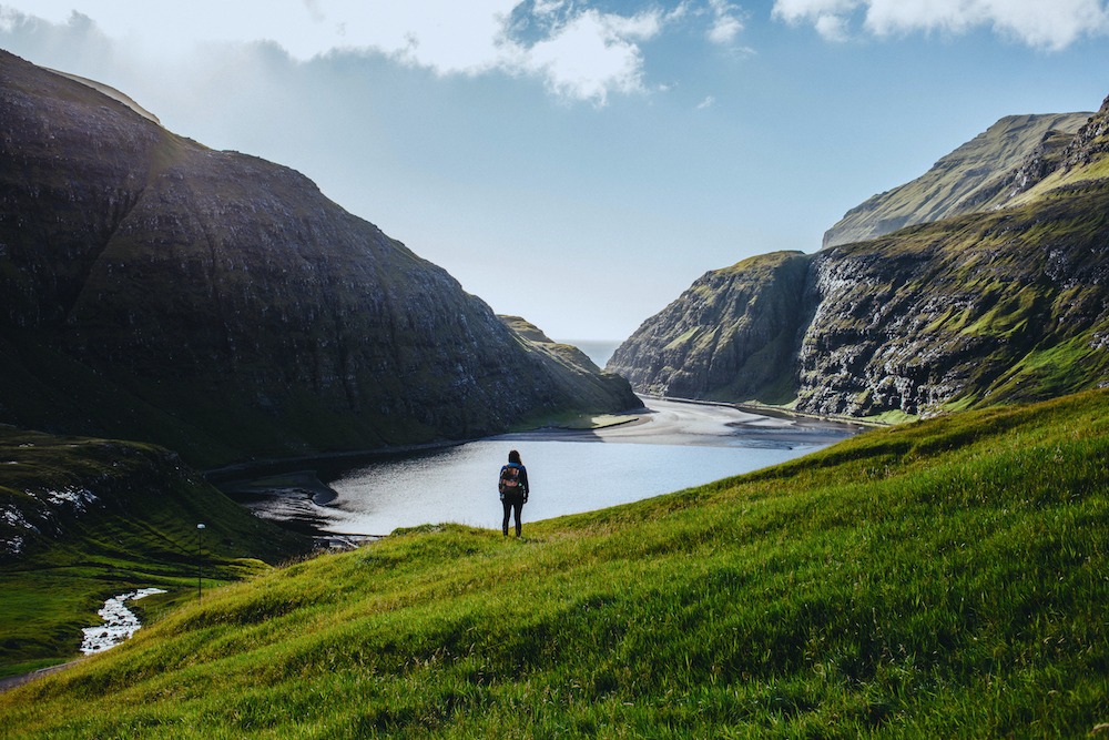
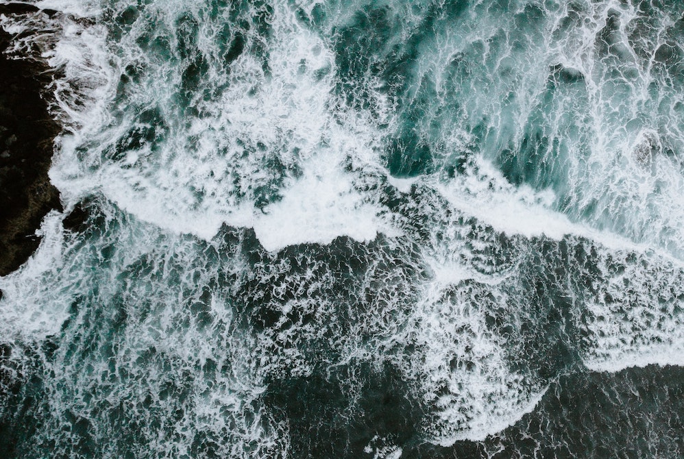
The geography of the Faroe Islands is an exciting aspect in itself when travelling to the Faroe Islands. Remotely gathered in the North Atlantic Ocean, a rough archipelago of eighteen mountainous islands erupt out of the ocean in striking basalt cliffs, separated by narrow sounds and fjords. This island nation is called the Faroe Islands.
The geographical remoteness of the Faroe Islands inspires a sense of mystique to the outside world, as the nearest neighboring countries are located hundreds of kilometers away.
Small Country – a lot to Offer
The islands’ landmass totals 1,399 square kilometers, with a maritime economic zone covering 274,000 square kilometers and a population of around 52,000 people. The country consists of 18 islands, 17 of which are inhabited. The country has about 130 populated villages and small towns, the largest of which is the capital city, Tórshavn, with around 22,000 people.
The archipelago’s overall length from north to south is 113 kilometers and 75 kilometers from east to west.
The Faroe Islands’ highest point is the “Slættaratindur” mountain, towering at 880 meters above sea level. Slættaratindur is located in the northern part of the island of Eysturoy and is between the villages of Eiði, Gjógv, and Funningur.
Cliffs make up most of the 1,117 kilometers of coastline, with most places soaring about 300-400 meters above sea level. The highest cliff, Enniberg, measures about 750 meters from the ocean’s surface and is located near the village of Viðareiði. Enniberg is one of the tallest cliffs of its kind in the world, and one of our REMÓT Experiences is to climb this very cliff.
Volcanic Origin
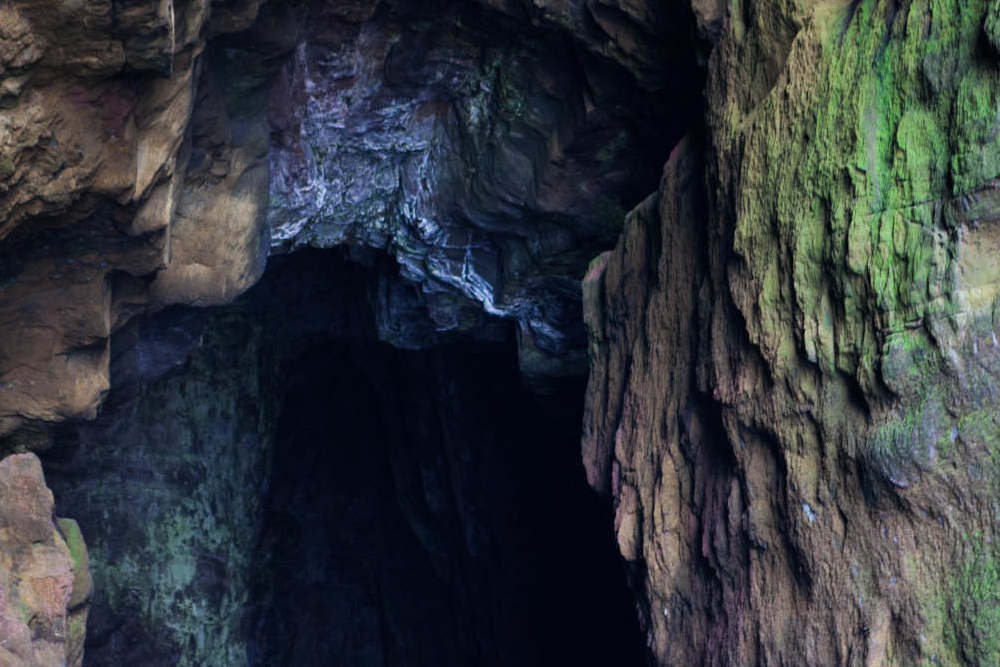
The Faroe Islands are of volcanic origin. They are dominated by tholeiitic basalt lava and are part of the great Thulean Plateau during the Paleogene period.
The Faroe Islands’ remoteness makes it strategically well-positioned in the shipping-routes between North America and Europe. Despite its remoteness, in recent years, the Faroe Islands has become more accessible with flights. The islands are now directly connected to many of Europe’s major capitals, making it a perfect getaway when in need of adventure or Nordic relaxation.
Learn more about the geography of the Faroe Islands on the national website of the Faroe Islands.
Let us help plan your trip to the Faroe Islands!
Ready to take the next step? Feel free to use our REMÓT Journey Planner to make an inquiry or email us at connect@remottravel.com. A REMÓT Travel Expert will be in touch to build an incredible travel itinerary for the Faroe Islands!


